The Jerusalem Light Rail Green Line: Route, Stops and What Changes for Residents

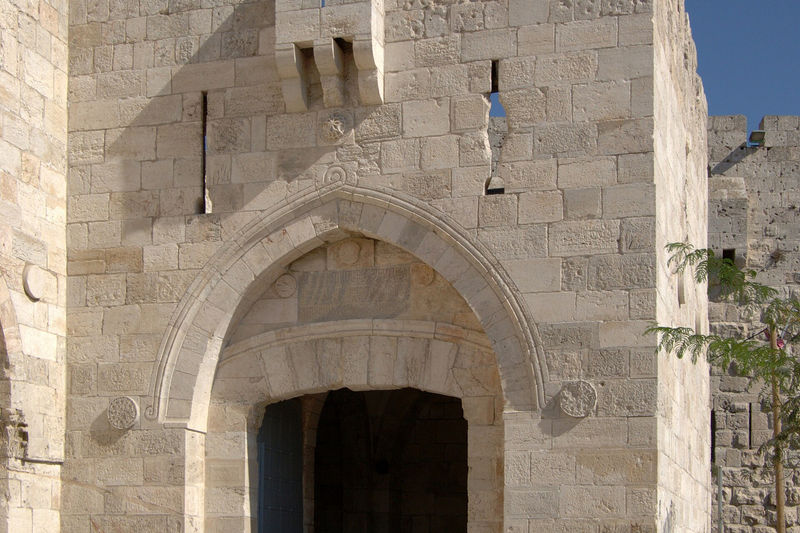
Photo: Adielbm, CC BY-SA 4.0, via Wikimedia Commons
Jerusalem's second light rail line opened on 21 August 2026, running from Jaffa Road to Malha. Here is where it goes, who it helps, and what comes next.
Short answer: the first section of the Green Line opened on Friday 21 August 2026. It runs about seven kilometres from the Turim stop on Jaffa Road, where it meets the Red Line, past the central bus station and the Yitzhak Navon train station, through the Government Quarter and the Hebrew University's Givat Ram campus, then south through Givat Mordechai and Pat to Teddy Stadium, the Pais Arena and Malha Mall. It has 13 stops, 12 of them new, and trains run roughly every eight minutes at peak times. It uses the same Rav-Kav and the same fares as the Red Line and the buses.
Operators call this section L3; the full Green Line will be longer, with a southern branch to Gilo, a northern extension through the city centre to Mount Scopus, and a branch to Har Nof. Until those open, think of today's Green Line as a fast link between the centre, the train station and the south-west.
Where it goes
- Jaffa Road (Turim). The northern end, a short walk from Mahane Yehuda and the centre. Change here to the Red Line.
- Central bus station and Yitzhak Navon station. Intercity buses and the fast train to Ben Gurion Airport and Tel Aviv are both here, which makes the Green Line the easiest way from the station to Givat Ram, Pat or Malha without a bus.
- Government Quarter and Givat Ram. The Knesset area, the Hebrew University's science campus, the National Library, the Bloomfield Science Museum and the Israel Museum are all within walking distance of the stops.
- Givat Mordechai and Pat. Residential neighbourhoods that until now relied on buses into the centre.
- Teddy Stadium, the Pais Arena and Malha Mall. The southern end. On match and concert nights, expect full trains.
Hours, fares and Shabbat
Like the Red Line, the Green Line runs from early morning to around midnight Sunday to Thursday, stops on Friday before Shabbat, and does not run on Shabbat or on the chagim themselves (it does run on chol hamoed). Pay with a Rav-Kav, or with a phone app that works as one, and tap every time you board: inspectors check the light rail often and an untapped card is a fine. The fares, discounts and free transfer window are the same as on the rest of Jerusalem's network; our getting-around guide explains the card, the profiles for students, seniors and children, and the apps.
One caveat for the first months. The line opened before every traffic light along the route was set to give trains priority, and the city has said full priority could take a year or more. In practice some trips take longer than the timetable promises, especially at rush hour. It is still usually faster than the buses it replaced.
Who it helps most
- Anyone using the train. Arriving from the airport or Tel Aviv at Yitzhak Navon, you can now reach the south-west of the city without a taxi.
- Hebrew University students and staff at Givat Ram. A direct ride from the centre and the station. The Mount Scopus campus has to wait for the northern extension. The student guide covers housing and discounts.
- Residents of Givat Mordechai, Pat and Malha, and anyone who shops at Malha Mall or goes to games and concerts at Teddy and the Pais Arena.
- People choosing where to live. A light rail stop within walking distance matters for rent and daily life. The neighbourhoods guide says which areas the lines reach.
What comes next
- Gilo (L4). The southern branch from the central bus station to Gilo is expected to open as early as December 2026; test runs started at the end of August.
- Mount Scopus. The northern extension from Jaffa Road through the city centre, past City Hall and Damascus Gate, to French Hill, Hadassah Mount Scopus and the Hebrew University campus, is planned for 2027.
- Har Nof and Givat Shaul. A western branch is planned for the end of 2027.
Dates on Israeli infrastructure projects move. We will update this page as each section opens.
The Red Line, for comparison
The original line runs along Jaffa Road through the centre. Since February 2025 it has run the full length from Neve Yaakov in the north to Hadassah Ein Kerem in the west, about 22.5 kilometres with 35 stops, past Pisgat Ze'ev, Shuafat, the Old City walls, City Hall, the central bus station and Mount Herzl. The two lines share the Turim stop on Jaffa Road.
Common questions
When did the Jerusalem Green Line open?
The first section opened on Friday 21 August 2026, running about seven kilometres from the Turim stop on Jaffa Road to Malha, with 13 stops.
Where does the Green Line go?
From Jaffa Road past the central bus station and Yitzhak Navon train station, through the Government Quarter and the Hebrew University's Givat Ram campus, then Givat Mordechai, Pat, Teddy Stadium and Malha Mall.
When will the Green Line reach Gilo and Mount Scopus?
The branch to Gilo is expected to open as early as December 2026, and the extension through the city centre to French Hill and Mount Scopus is planned for 2027. Dates can move.
Does the Jerusalem light rail run on Shabbat?
No. Neither line runs from Friday afternoon until Saturday night, or on chagim. Both run on chol hamoed.
Hebrew you will meet
- רכבת קלה — rakevet kala — light rail
- הקו הירוק — ha-kav ha-yarok — the Green Line
- הקו האדום — ha-kav ha-adom — the Red Line
- תחנה — tachana — stop, station
- תחנה מרכזית — tachana merkazit — central bus station
- לתקף — letakef — to tap / validate your card
More everyday words are in our Hebrew vocabulary guide.
Rode it and found something different — a closed stop, new hours, a changed date? Tell us and we will fix it.
Related guides